We help you optimize Hydropower assets|Discharge forecast|Energy trading
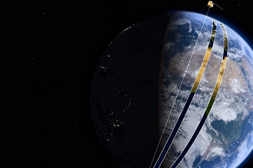
More efficient energy generation and trading thanks to near real-time snow monitoring from space. Committed to Open Source and with a strong partner network, we transparently deliver satellite data power to the Energy industry.
Near Real-Time
We improve discharge modelling with satellite-monitored snow data with maximum speed and agility.
Fuse Space Data
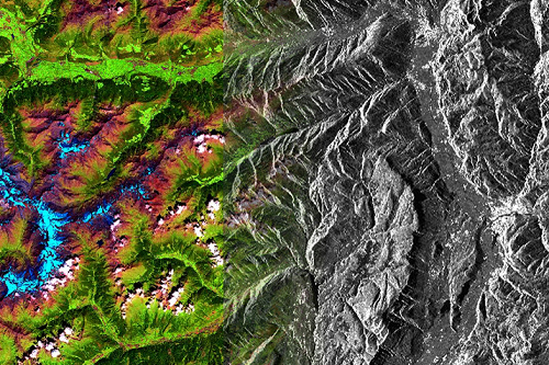
We produce gap-free snow-water datasets by fusing multiple satellite data.
Robust Validation
Continuously validated in the ground via distributed HD camera monitoring systems.
As climate changes, we help you adapt.
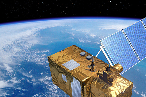
Satellite data processed daily
Potential earnings, test basin
Reduction Snowmelt Prediction Error
Better Total Inflow Prediction
Hydropower companies are performing below optimal levels due to errors in discharge prediction models, causing losses in energy planning and trading, exhacerbated by climate change. Satellite-based snow data from DeFROST is a product ready to be plugged in to tackle this challenge.

Open Space Data
Our committment to Open Source algorithms and data makes DeFROST transparent, giving you visibility and full control.

Agile Innovation
Working with us means working with an international team of space data innovators. Speed and Agility is part of our DNA.

Expertise Network
Thanks to our Open Principles, we are closely connected to the global collaborative network of Space Data expertise and innovation.
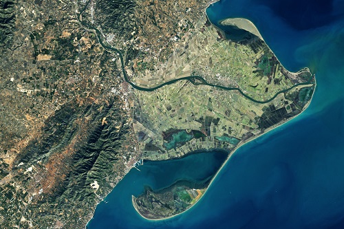
Check our Daily, Global Snow Data

Transparent Space Intelligence
Parts of DeFROST, such as the Sentinel 2 snow detection algorithm (based on LIS from CESBIO), are Open Source.
Power without giving up control
DeFROST allows you to inspect, own and customize the process. You'll never be locked up.
Vibrant Developer Community
We deliver you the expertise of the global Open Geospatial Community. At the forefront of innovation, at enterprise-grade.
Open Snow Space Data.
Enthusiastically embracing Open Source and Data, we collaborate with the global community of remote sensing experts for the benefit of the field and our customers.